How a Cooling Center Gets on the Map
A sign in a window is a start. Turning an existing room into a place people can rely on during a heat event takes verified hours, a usable entrance and a way to update both.
In this story 5 sections
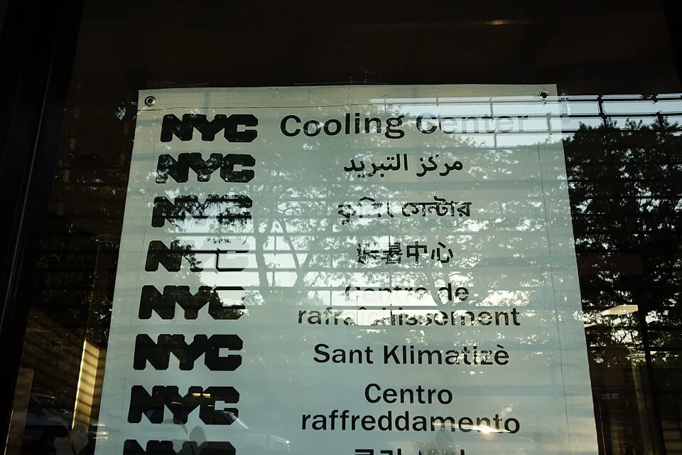
The sign in the cover photograph announces a New York City cooling center in several languages. It was photographed at the Briarwood Library in Queens in 2018. The letters are visible through reflections in the window; what no longer comes through the glass is the day's schedule. That distinction matters. A photograph can document how a city marked a service, but it cannot tell a person planning a visit now whether the same room is available.
A cooling center often relies on a building that already has another name and another purpose. It can be a library or a community facility where people normally come for quite different reasons. When a city lists it as a place to spend time during extreme heat, the familiar building has to accept a new kind of visit. The operator has practical questions about room, staff and hours. The person walking over needs something simpler: a door they can find, at a time when somebody will let them through.
The first line of the entry is a claim about the day
A marker on a map gives a useful answer to where. That is not enough information for a service whose availability may depend on the weather and a host building's hours. A marker that promises nothing about time should not look like a statement that the site is open now. A label can state whether the map reflects activated facilities, identify the period it covers and make closed hours visible without clearing the address off the map.
New York City's extreme heat page directs residents toward its Cool Options Finder for locations and toward city information channels for assistance. The finder and the city page together are better sources for a planned visit than a news photograph from another summer. That is a concrete New York example. Elsewhere a municipality, a county or another public body may maintain the local notice. An old list of names should be useful for documenting past arrangements, not mistaken for the current list of open doors.
The distinction matters on both sides of a weekend. Picture a library that normally closes early on one day and a recreation center that serves a longer interval. A shared address list without hours makes them appear interchangeable. Once readers can match a day and time to a site, the map starts to help them choose a viable trip. If hours differ from the host's regular hours, putting the two schedules on the same small screen without labels merely gives the reader a second problem.
What the host has to tell the city
The city's operating rules name a person or link in the agency chain for reporting changes. Among other things, they require a facility to report a change in its hours so the public finder and 311 can reflect it. They also provide for reporting an air conditioning problem. This matters because the map operator is often nowhere near the building. The fact that one person can see a change in the room does not guarantee that the person answering a public inquiry knows about it.
Suppose a fictional site is due to offer a cooling room until six. At two in the afternoon the host learns it has to close at four. Posting a note on the door helps the person already there. Updating only the website helps someone making a decision from home. The public contact line also needs the new information, for people without a usable map or a connection on the way. A short notice can identify the site, the affected hours and the current source for alternatives without sending a visitor through the entire administrative chain.
A listing maintained under pressure should provide its own time stamp where practical. At three in the afternoon, a supervisor trying to check which notice came last should see when the information changed. Without that clue, two people can each give what appears to be the correct answer while reading versions from different hours. The presence of a change procedure matters just as much as the design of the clean map printed at the start of the season.
The route does not end at the address
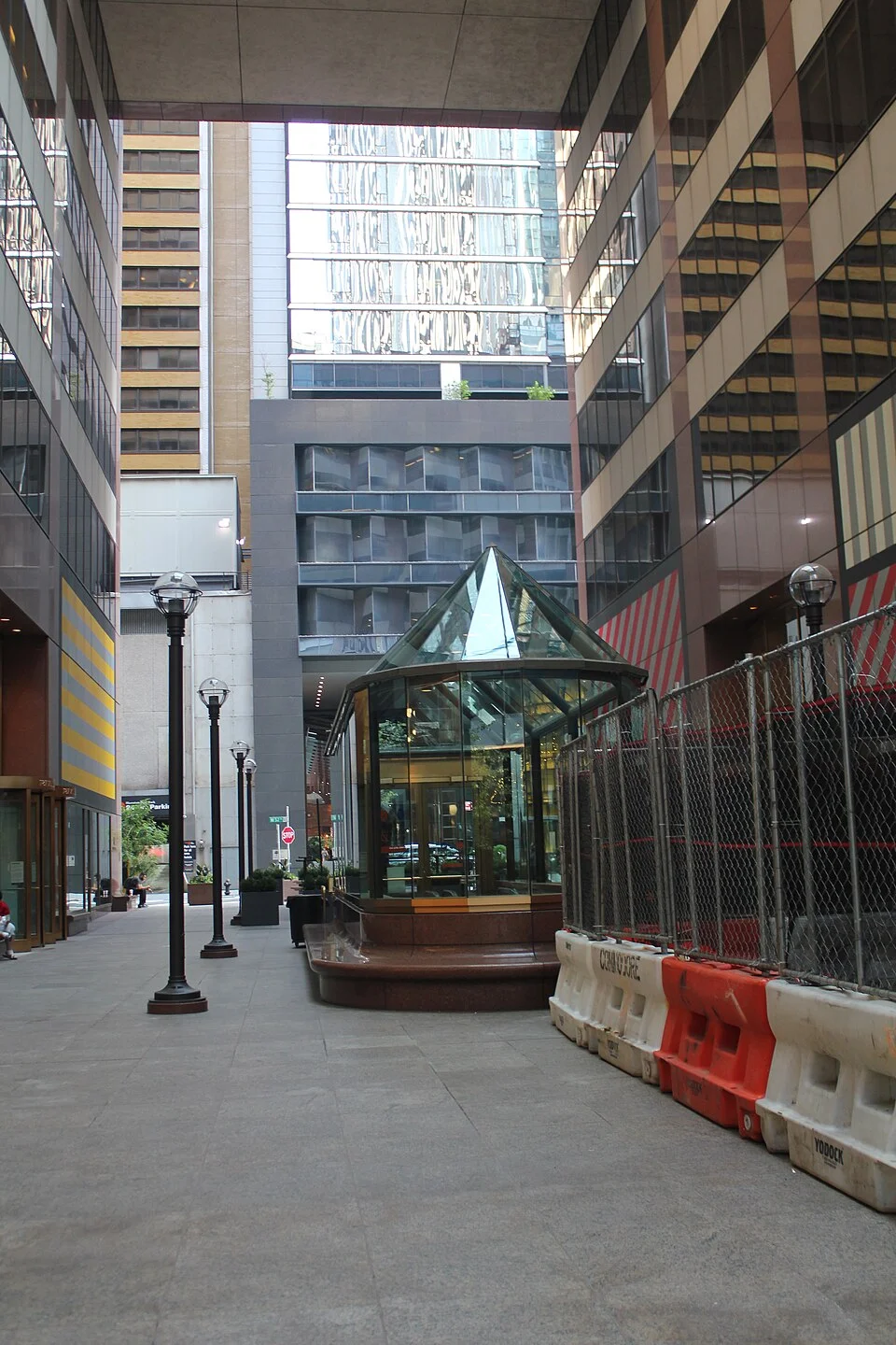
A street number may belong to a facility with several doors. An entrance used for deliveries may be close to the nearest stop on a transit line. A public entrance can be on the opposite side of a building. A marker at the centre of the property can fail to tell a person which of these facts matters. Information about a usable entrance is considerably more valuable than another photograph of the block.
New York's rules cover visible signs and ask facilities to indicate an accessible entrance when the main one is not accessible. They also address drinking water and restrooms. Translating those subjects into visitor information takes a little more than showing an accessibility icon. A person trying to enter needs an instruction they can recognise on arrival. An entrance around the corner is easier to find if the sign names the street, the side of the building or a visible landmark.
Consider a visitor unfamiliar with the host. If the site is a library, they may wonder whether they have to use library services to sit there. If it is a recreation facility, they may expect a desk set up for members. New York's rules say people who come for respite from the heat must be admitted during the stated hours of operation. A sign or staff greeting can turn that policy into an answer at the threshold. The city rule is specific to its facilities; eligibility and arrangements should be checked with the local operator elsewhere.
Make the choice possible before someone starts walking
A useful map gives people enough information to compare two sites without assuming the shortest line will be the easiest trip. A street near one stop may have a complicated crossing. A closer entrance on the map may be closed at that hour. Someone may need information about whether the facility can accommodate a particular accessibility need or an animal. Asking about these things before committing to the trip can prevent somebody from reaching a site that cannot provide what they were seeking.
A good print view helps in places where a web map does not. It can give a few names and hours in a readable order, include the public information number and identify which edition of the list someone holds. A sign on a bus shelter or an apartment notice board usually cannot carry every detail. It can still tell readers which agency to contact and which named neighborhood to ask about. The design question is how to make the next useful step possible for someone who did not start with a smartphone.
Language is part of access too. The sign in the 2018 photograph offers a multilingual signal that the room has one additional purpose. Such a sign need not carry everything. It works better when the information that changes, such as the applicable hours, is independently available in ways readers can use. Testing the path from sign to hours can reveal that the right name is translated while the information channel the sign gives is hard for the same reader to use.
Work backward from the question at the door
People who make referrals need similar information even when they never visit the building. Someone answering calls at a community organisation might have only a minute to look up an alternative while a visitor is still on the line. A printable list sorted by area rather than by host institution can help. Giving the official lookup and phone channel the same facility names also makes verbal directions easier to check. Otherwise a caller may be sent to the right address for a place whose name appears differently on the sign.
A fictional planning exercise can start a few metres outside the entrance. A visitor arrives in the afternoon and asks whether the building is open for cooling right now. The staff member should have an answer even if the library desk or the gym's usual program is operating on a different timetable. Move the exercise back to the point at which the visitor chose the destination: would the page have prepared them for these hours? Then move it to the prior step, when someone learned there was a service at all. The information should get more specific at each step.
It is reasonable to save both the plans and the notices issued during a heat event. Later a staff review can compare scheduled hours, changes and the clarity of the wayfinding. A recorded count of visits can help with planning, but it does not capture the people who gave up on a confusing map or approached the wrong door. Asking what happened in those gaps can be more instructive than increasing the number of markers alone. The city needs to know whether a site was practically available to the people the map was meant to reach.
The photographed sign can stay attractive long after its date has passed. What makes the public service dependable is the work that keeps the present tense accurate. The room has to be operating, the address has to lead to an appropriate entrance, and the person planning the trip has to be able to find out before leaving. A mark on a map starts to mean something when all three describe the same place at the same time.