The Map That Changes in a Snow Emergency
In Minneapolis the same curb can be read differently during different phases of snow clearing. The city’s map makes sense only when it is tied to time and street type.
In this story 4 sections
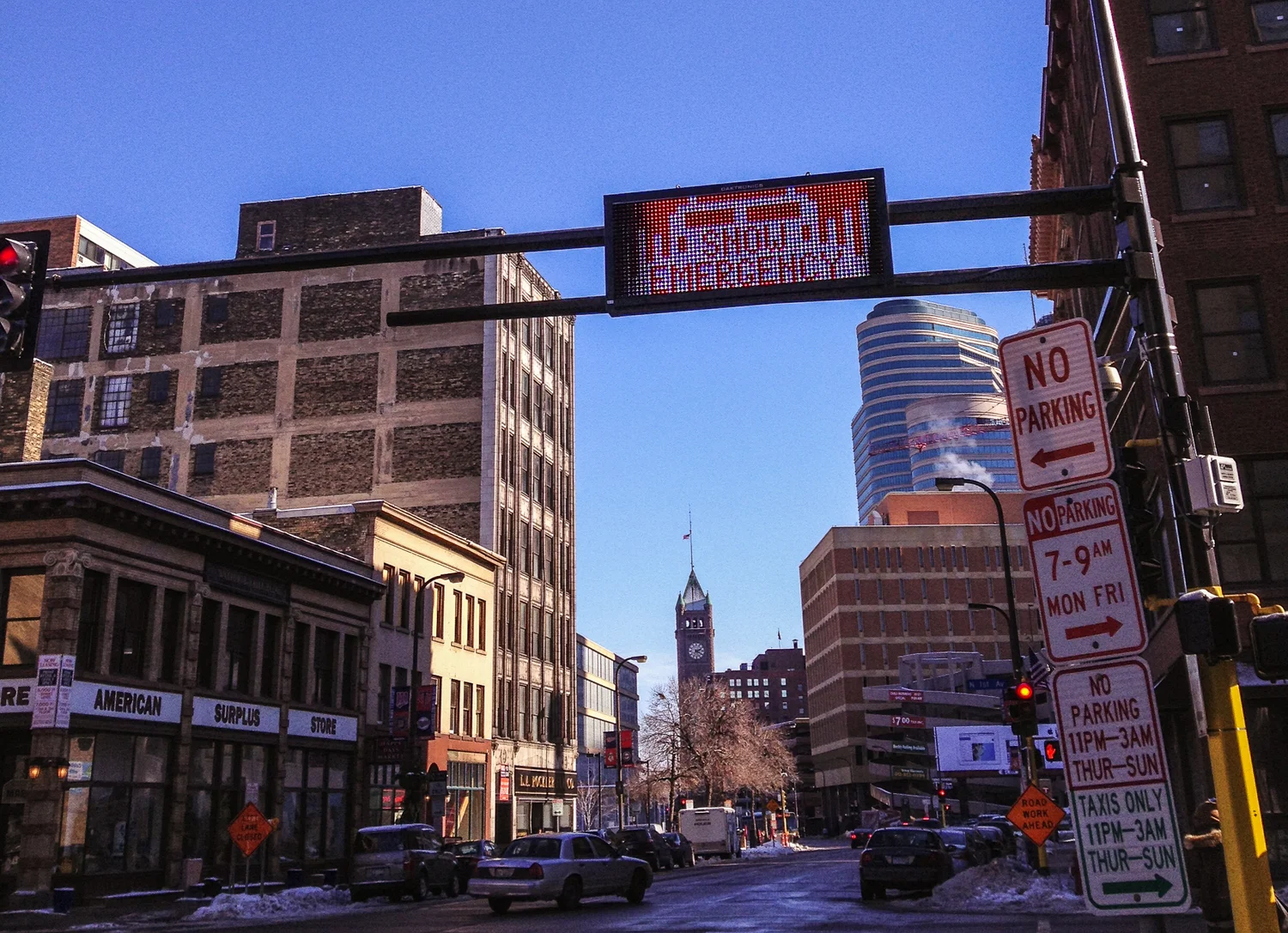
From an upstairs window, the street looks white and fairly continuous. Below, the street is an untidy series of uses. There is the middle where a vehicle can move, the narrow place a person shoveled around a parked car, the ridge a plow has left and a corner that someone needs to cross on foot. In a city that clears snow systematically, some of these uses have to pause while others are provided for. The puzzle for the resident is to find out which part of their ordinary street is supposed to be empty at which time.
Minneapolis makes a useful case because its snow emergency materials include a parking map and separate written phases. The map can mark the kind of street you are looking at. The phase explains what the city asks of that street at the time. Ordinary parking rules and signs still matter, and updates say whether a particular event has been declared. Look at those sources together rather than asking whether a city uses a map or a timetable. In effect it uses both. The underlying geography is stable enough to print. The active rule depends on circumstances the printed page can never know.
Why the first question is whether it is in effect
A forecast can tell people that enough snow is possible to affect travel. In Minneapolis a declared snow emergency is a distinct event with an official time and notice. Seeing a red route sign on the first snowy afternoon says something about the route. It does not establish by itself the timing of an active declaration. A city update may answer the timing question without saying where a single vehicle has to be. A good public instruction gives an easy relationship between those two pieces of information.
Call up a hypothetical notice from an apartment several blocks away from your car. You want to know the precise stage in effect and the relevant part of the street on which the vehicle sits. The evening in common speech and a timetable beginning at a certain clock time can disagree by several hours. Saturday and Sunday can also be poor replacements for day numbers when an event begins on an unexpected date. Write the local time and date by each application of the map if you are making a note for someone else. It is a courtesy to someone who sees the note later and cannot tell when you wrote “tonight.”
Someone arriving in the neighborhood during the event has a slightly different problem. They have no old habit to revise but may need to find signs they have never seen on a block that is already white. A street name alone may not tell them that the city treats the block differently from another part of the same street. A notice that gives a map link, a way to check the time and a way to ask a question is useful even if it has to leave the details to those sources.
A side of the street is also an address relationship
The city’s rules describe different treatment of snow emergency routes, parkways and other streets across the phases, including distinctions by even and odd sides where applicable. When someone says “move it across the street,” ask which block the sentence refers to. The two halves of an intersection need not belong to the same category, and looking over from an apartment window can make two similar streets look more interchangeable than they are. The designation connects to a specific street segment and should be checked in the city’s current material.
On the side of a street, a conventional address entered from one building can give a helpful reference for what the words even and odd mean. Looking along a block with few buildings can make that step unexpectedly difficult. It helps to name the side and its relation to a clear address in an explanation. It can also help to mark the entire street segment instead of drawing an arrow to a spot on the map. An arrow that seems to point clearly on a printed page can cover both halves of a street on a small screen.
As a civic design problem, think about a map with a colored line running over a steep turn. Readers should be able to ask two things of it. First, is this the street and segment they mean? Second, which phase and side does the description apply to? If it relies on color, can someone still check the street in a legend or in text without perceiving the colors in quite the same way? A useful tool lets the reader recover from opening it at the wrong scale. Labels and a current status matter as much as accurately drawn lines.
The plow changes the physical street
It can be easier to understand phased clearing when you remember what the equipment needs. If one set of curb spaces is left occupied throughout a storm, plowing the open path can make a repeated boundary beside the parked vehicles. A second pass with a different part of the curb clear can reach an area the first one could not. The result is more than a different pattern of car spaces. It affects space for movement, the shape of banks where people may cross and the amount of room that remains when there is another snowfall.
To see that difference without standing near a plow, compare examples from a place where you can observe safely. Make notes before and after a pass from the same viewpoint. Photograph an ordinary obstruction only if you can keep private information out of the shot. The first appearance of two clean lines of tire tracks says relatively little about how much edge space is usable. Time and a reference to the curb do more. The questions a resident can usefully ask include where snow has narrowed a crossing and whether a specific obstruction persists after the ordinary clearing period.
The city’s guidance discusses fully plowed streets as a condition in relevant rules. Do not try to infer that status simply from having heard a vehicle go by. One pass can have made some progress. What the official rule describes is a specific condition, and a resident needs to check the current guidance for the particular street. This matters to communication because a general social media note about a plow in the neighborhood can be widely reported and still offer very little evidence about the curb a person actually uses.
A useful report afterward describes the street segment as precisely as the city’s schedule described it beforehand. If a berm blocked access after the expected pass, note the cross streets, the side and the time it persisted. The block may need a different kind of attention from a street on which a full pass did not happen. Separating the completed work, the obstruction that remains and the next requested action is helpful to the person receiving the note and the person who has to live with the result.
Good information follows a resident out the door
A resident may not know all three pieces at once. They might read a map at work, receive a message on the way home and only confirm the street sign when they reach the block. The material should allow those pieces to accumulate without expecting someone to keep a page open in the same view. A downloadable map can be useful away from a reliable connection, but that map has to be accompanied by a current status at the time when it is used. A neighborhood can help by relaying the official information with its date and a way to find the latest one.
It is worthwhile to test how a typical sentence travels. Say the city publishes a message about the second phase. Somebody copies it into a building notice, another takes a picture and sends it to a neighbor. Which condition is still visible by that point? If it refers to a map, can the neighbor actually find the relevant street? Does the notice say which event it discusses? A few details can keep a helpful gesture from becoming an outdated instruction that people copy across multiple storms.
Some situations deserve separate treatment in public information. A person with limited ability to get across ice may need current details about accessible parking or about a route that stays open. Someone whose vehicle was moved may need the place to ask about it. Somebody seeing an obstruction may need a way to report it without searching through material for a motorist. Those are different tasks. A sensible map can lead toward each of them without pretending that the colored part of the page can carry every answer.
The lesson of the street below the window is that every bit of it is used at a particular time. A household can make a decision by combining declaration, phase and place. A public works team can create a useful sequence by reserving room to do work while other parts of the neighborhood remain accessible. From upstairs it can all look like the same white block. The map and the clock make it possible to describe which part of the block has changed, and when it will change back.